Blog: Mapping for anticipatory action in Timor-Leste
By Cornelia Scholz, Climate Centre, Dili
(A version of this story appeared first on the Humanitarian OpenStreetMap Team website last month along with Cornelia Scholz’s full report on the Timor-Leste project. The FAO in Timor-Leste activated its early action protocol for agricultural drought linked to El Niño last October after clear signs of impending dry conditions emerged.)
Anticipatory mapping guides volunteer efforts toward high-risk areas well before an actual disaster takes place, using satellite imagery to map buildings and roads in priority areas.
This base data is then enhanced with additional information not visible from space, such as the locations and capacities of health facilities or schools; impact-based forecasting and early action protocols for anticipatory action can then be developed.
Timor-Leste was the focus of attention for this new project due to its high level of exposure to various hazards, but existing OpenStreetMap (OSM) data was not complete enough to be used in planning anticipatory action.
Strength of materials
The Climate Centre and the Timor-Leste Red Cross worked with the Humanitarian OSM Team (HOT) and the OSM community in Timor-Leste on rigorous mapping, engagement with local communities, and providing insights into areas at risk from floods, landslides, and other climate-related hazards.
Field mapping was organized into sections typically comprising up to 100 buildings, while the Kobo and OSM tools enabled data to be collected through an offline app, down to details such as the depth of foundations, strength of materials, and flood history.
Gathering community insights on past flood occurrences, their impacts, and early warning mechanisms was a key aim, involving another OSM tool called SketchMap.
This generated invaluable details of historic flood extents, early warnings, evacuation sites, and capacities such as natural protection areas.
Stories emerged of long-term changes in livelihoods in an effort to adapt to climate change: many farmers in the Laclo valley, for example, transitioned from rice to livestock and vegetable growing due to the impact of repeated floods.
Geospatial tools
Early-warning systems were found to be lacking in all areas assessed for the flood hazard; but interviewees stressed they would know what to do to protect their livelihoods, such as bringing in the harvest early, if warnings were distributed fast enough.
Maps incorporating all the HOT-Red Cross data collected have been printed and distributed to the communities that took part in community mapping.
All the data collected as part of this project in Timor-Leste can be accessed through the Humanitarian Data Exchange.
The interest in Timor-Leste in applying open-source geospatial tools has been very great and opens up opportunities to build local capacities and scale up community work on open data like this in other parts of the country.
This project was carried out in September 2023 in settlements in Manufahi, Covalima, Manatuto and Oecusse districts.
It was a collaborative effort aimed at fostering climate resilience through partnerships between local stakeholders including the Timor-Leste Civil Protection Authority, the National Directorate for Meteorology and Geophysics, the Timor-Leste Red Cross, the Climate Centre, and the HOT.
It is part of programme worth nearly US$ 2.2 million supported by the Green Climate Fund and led by the the United Nations Environment Programme for climate information services and early warning for a variety of hazards in Timor-Leste.
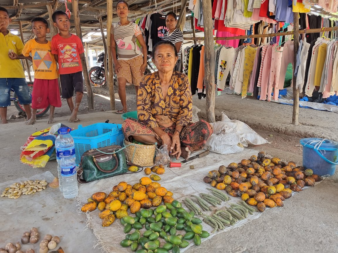
Agricultural produce is sold at the local market in Naimeco, Oecusse region, in an area mapped in the 2023 project. (Photo: Cruz Vermelha de Timor-Leste/Climate Centre)