WHCA: Ugandan communities turn early warnings into everyday action
By Cheikh Kane, Resilience Policy Adviser, Climate Centre
(This story appeared first on the website of Water at the Heart of Climate Action. It has been edited here slightly for length.)
When the river rises in Pakwach district, Uganda, it brings more than water. It brings back the memory of past floods, homes lost, fields drowned, and the quiet despair that follows when the ground itself seems to turn against you.
Soon, that same river will matter in a new way: as a generator of livelihoods and a barometer of local conditions.
“We will learn to live with it,” says a local leader in Pakwach. “This time, we will listen to the forecast and act before the flood.”
Across Uganda, communities are redefining how they read the skies, prepare for droughts, and face floods before they arrive.
In April 2024, under Water at the Heart of Climate Action (WHCA), government agencies, humanitarian partners, and technical experts met to decide where this new chapter would start – selecting focus areas based not just on risk, but also community readiness.
The Uganda Red Cross Society identified the most vulnerable and under-served communities, informed by data from the Office of the Prime Minister, with catchment management plans from the Ministry of Water and Environment (MoWE).
“We wanted to be precise,” explains a URCS disaster risk manager. “Not just where the threat is most severe but where communities are ready to work with us – where early warning can become early action.”
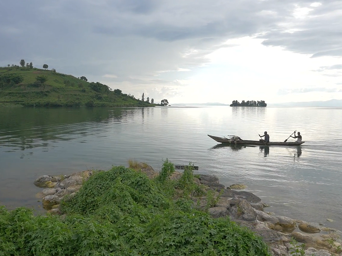
Uganda’s entire territory lies within the Nile Basin, where floods and droughts intertwine. Pakwach and the district of Kamuli are disproportionately exposed to climate hazards: in Kamuli floods regularly inundate low-lying areas, and in Pakwach, where prolonged dry spells and drought test communities’ endurance.
Before deciding what to build or where to train, WHCA began by listening. Over several weeks, partners assessed vulnerabilities and capacities across both districts, through 32 community meetings gathering 3,258 participants – farmers, fisherfolks, elders, young people and local leaders.
“People know their risks better than any map,” says a URCS facilitator. “We wanted to learn from them first.”
In Kamuli, families living near wetlands and riverbanks described how houses are submerged, latrines collapse, and crops are washed away each rainy season. They spoke of how people with disabilities struggle to relocate, and how elderly residents often refuse to leave their flooded homes.
In Pakwach, the crisis looks different. Prolonged dry spells shrink the river channels that sustain the district’s fishing communities, leaving catches uncertain. With water sources receding, women walk longer distances and children suffer when both crops and fish supplies drop.
‘People know their risks better than any map. We wanted to learn from them first’
These lived realities are shaping the WHCA road map, ensuring that future early warning systems will not only deliver messages but reach those who need them most and drive them to respond.
Local structures – village councils, parish chiefs, village health teams, water-user committees, and community-based disaster risk reduction groups – are at the heart of the new system. They are being trained to interpret forecasts, disseminate local alerts, and mobilize families when thresholds are reached.
“The message will not stop at the district office,” says a meteorologist from the Department of Meteorological Services (DMS). “It will reach the woman by the river, the child in school, and the farmer in the field.”
The URCS, the DMS and the district disaster management committee coordinate closely, ensuring that forecasts reach even remote villages. But more accurate DMS rainfall forecasts and improved MoWE flood models – supported by the WMO, UNDRR, and the Systematic Observations Financing Facility – are needed.
“We hope that WHCA will now move closer to the national and local levels,” explains Dr Benon Zaake, Commissioner and head of hydrological services at the MoWE.
“Many local partners and communities recognize their own challenges, but they haven’t yet seen how we can support them, simply because they’re not fully aware of the scope of our work. We need stronger outreach and engagement, and we believe WHCA can really help bridge that gap.”
The programme also works through trusted messengers – faith leaders, health centres and local radio stations, turning trusted community voices into channels of preparedness.
“When people hear advice from their church or local radio, they act faster,” says a parish chief in Kamuli. “That’s how we build trust in the forecast.”
Behind the science of selection lies a larger vision – to transform risk maps into living systems of anticipation and adaptation.
‘The message will reach the woman by the river, the child in school, and the farmer in the field’
Each chosen community serves as a microcosm of Uganda’s broader climate challenges.
Kamuli focuses on flood resilience, where riverbank communities learn to build safer, more resilient settlements, protect water sources, and respond to early alerts; Pakwach focuses on drought preparedness, teaching farmers how to adapt cropping cycles, conserve water, and build reserves for lean seasons.
Both districts are integrating climate change adaptation measures – from small-scale irrigation to improved soil management.
In each community, the project brings together a constellation of local actors. Village health teams track climate-sensitive diseases during flood or drought emergencies. Water committees manage boreholes and drainage channels. School teachers include preparedness drills in lessons. And young volunteers trained by the URCS use megaphones and mobile phones to disseminate early warnings.
WHCA aims to turn early warning from an event into a habit – something communities practice, not just receive. Children learn to read rainfall charts on classroom walls. Farmers check weather updates before planting. Women’s groups keep emergency savings for drought periods.
Uganda is a land of lakes and rivers, making it especially vulnerable to climate impacts. Water at the Heart of Climate Action links data, forecasting and community preparedness across the Nile Basin and helps turn early warnings into early action. The programme supports locally led solutions in Ethiopia, Rwanda, South Sudan, Sudan, and Uganda. (Photo: WHCA)