
Blog: Mapping before the storm – strengthening preparedness in Madagascar
By the Cornelia Scholz, Climate Centre Technical Adviser for Geographic Information Systems
(The Climate Centre story map library is here. The maps offer a comprehensive analysis of climate impacts on specific vulnerable groups and regions, and details how they affect humanitarian operations.)
The Malagasy Red Cross (MRC), in partnership with the IFRC, the British Red Cross and the Crescent Climate Centre, is using drone imagery, local knowledge and open-source data to strengthen preparedness and humanitarian response to increasing climate risks including cyclones, floods, and droughts through anticipatory story mapping. Communities are then enabled to build a clearer picture of risk before a disaster strikes.
When a cyclone makes landfall, its impacts depend not only on its intensity but also the buildings, infrastructure, and communities in its path.
Yet in many of Madagascar’s most at-risk areas detailed local data is missing. For this reason, it is difficult for humanitarian organizations to have advance local information on vulnerability, and determine where support is most needed when planning anticipatory actions. This can make the difference in saving lives.
To address this, the MRC piloted an anticipatory mapping initiative starting in January 2026. This formed part of a UK-funded locally-led multi-hazard preparedness and resilience programme, a multi-year programme to improve disaster preparedness, early action and community resilience.
The pilot built a more detailed picture of communities exposed to different hazards: cyclones, extreme rainfall, flooding and wildfires, providing evidence to inform local preparedness and anticipatory action.
MRC teams and volunteers mapped six pilot areas between January and July, documenting more than 11,500 buildings and infrastructure; anticipatory mapping was later extended to other areas where the MRC works.
The mapping began with drones that captured high-resolution imagery of communities, including their buildings, roads and features. These communities lacked data or were missing entirely from OpenStreetMap.
Community engagement
MRC teams that included community members verified the data on the ground and recorded additional information about individual buildings, including their height, wall and roof materials, and construction method. This data can explain why buildings in the same area can be affected differently by a cyclone.
Combined with information on hazards and exposure, this provides the basis for indicators of ongoing cyclone vulnerability: instead of knowing only where buildings are located, the Red Cross can begin to assess which structures may be most susceptible to damage ahead of disasters.
By combining building characteristics with hazard exposure, community capacity and local knowledge, the initiative underpins more detailed vulnerability and exposure assessments, supporting preparedness and helping to identify areas to target for anticipatory actions before a cyclone arrives.
It can also feed into existing tools that support decision-making, including the National Society’s own system for assessing vulnerability and capacity.
Beyond initial data collection, community engagement remains important. Validating maps and analysis with community members can help ensure that the information reflects actual conditions in the community and links with local priorities.
This pilot project also ensured community knowledge was included, as the full picture of risk cannot only be gained through data linked to physical infrastructure. The MRC conducted household interviews asking questions about, for example, evacuation routes or previous early actions taken in advance of a disaster.
Cyclone Gezani
This pilot activity began just ahead of Tropical Cyclone Gezani (pictured), the costliest cyclone to hit Madagascar on record and the third costliest in the south-west Indian Ocean. The value of detailed geographic information before a disaster became apparent when Gezani hit.
In the immediate aftermath of the storm, MRC drones were used in joint multi-sector needs assessments to support a coordinated humanitarian and government response. The images provided a baseline for comparison with others collected afterwards; buildings could then be classified as destroyed, damaged, partially damaged or undamaged.
Combined with interviews and discussions with residents, the imagery helped build a fuller picture of the needs of affected communities, With hindsight, the assessment found that the most vulnerable locations identified closely matched areas where assistance had been distributed after Gezani.
This project highlights the value of anticipatory mapping in maintaining operable data, strengthening local capacity and connecting geographic information to decision-making, before, during, and after disaster.
The pilot was designed to build capacity within Malagasy Red Cross. Building skills and experience in the use of drones, Geographic Information Systems, open-source mapping, data collection and spatial analysis.
This is particularly important as climate risks and communities evolve. Buildings, roads and access to essential services change over time, meaning that vulnerability assessments can quickly become outdated. The skills and capacities developed help ensure that maps can be updated over time as local conditions and risks evolve.
The MRCS plans to expand mapping activities into other regions. Combining detailed mapping in selected communities with broader regional analysis can support translating local findings into wider preparedness priorities.
By building the map before the next storm, the Malagasy Red Cross is laying the groundwork for better preparedness, more focused anticipatory action and a stronger response when disaster strikes.
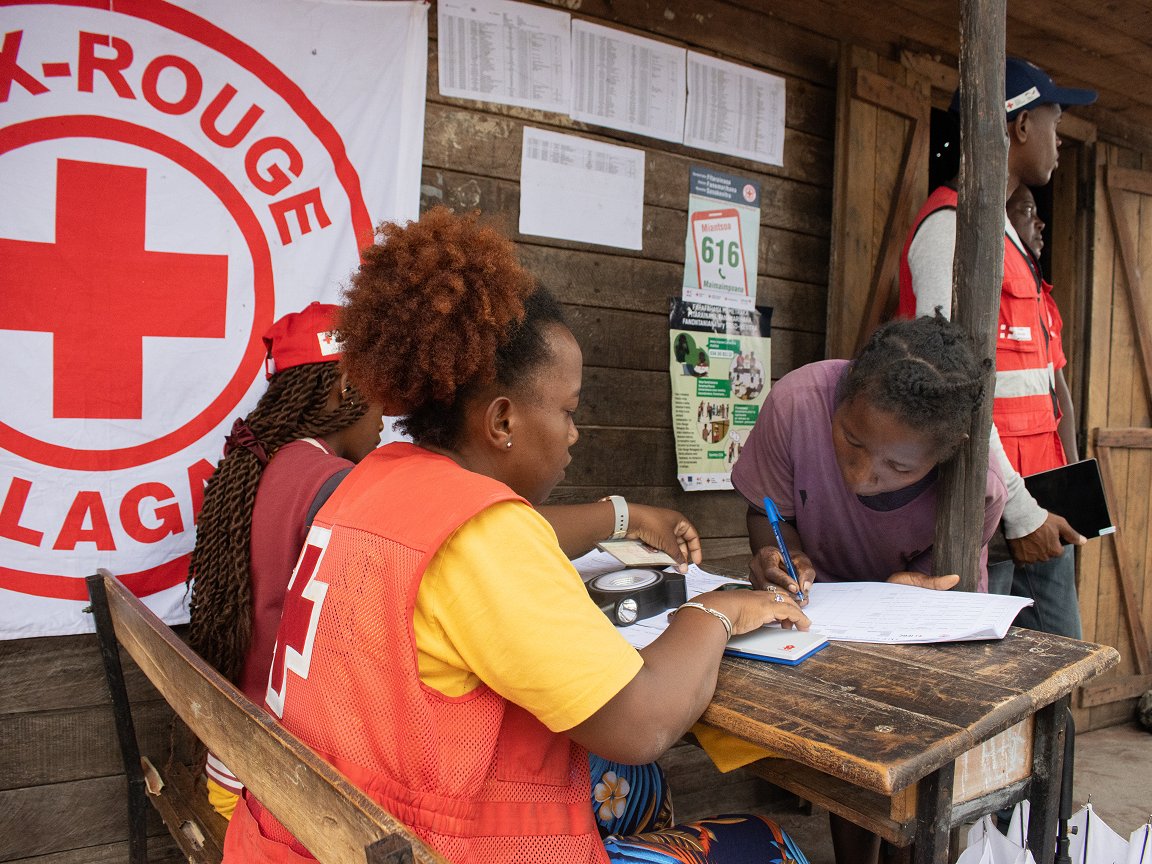
Last March, 2,000 households affected by Tropical Cyclone Gezani in Madagascar’s Toamasina II district received cash assistance through the Malagasy Red Cross as part of the ongoing response to the 2025–26 cyclone season in the country. Relief work like this can now be more precisely targeted thanks to an MRC exercise in anticipatory mapping, says the Climate Centre specialist Cornelia Scholz. (Photo: MRC via IFRC)