Blog: Scenario planning for anticipatory action in Madagascar
By Dorothy Heinrich and Liz Stephens in Antananarivo
(A longer version of this piece in English and French, with more details about outcomes, appeared on the Anticipation Hub earlier this month. See also our recent paper about defining unprecedented extremes, and more on the related concept of stress-testing on which the Climate Centre is working as part of the REPRESA project.)
In the days and hours before a storm makes landfall, relief stocks must be positioned in the right place before roads become impassable, early warnings must be sent out, people must be evacuated, and much more.
Making these decisions requires us to design and operate well-rehearsed, nimble systems that react to rapidly evolving situations that are at once very dangerous and logistically complex, and that may be very different from anything previously experienced.
To design robust anticipatory action, scenarios hold untapped potential.
Scenario planning is not new to disaster management. In the humanitarian sector, we see them used regularly in desktop exercises or simulations so that decision-makers can work through the steps of a contingency plan or an early action protocol (EAP). This has also been discussed in recent Climate Centre work on stress-testing.
We believe that by using cutting-edge datasets for cyclones, we can produce scenarios that cover a range of unprecedented but plausible events and associated forecasts.
Through research by the Climate Centre and Tufts and Reading universities, we are improving how researchers and humanitarians work together to build scenarios that are robust, salient, and usable to support humanitarian logistics.
We were invited to test these ideas by the Malagasy Red Cross Society and the German Red Cross. The MRCS have been preparing for and responding to cyclones for many years, but the development of an EAP is providing a mechanism for formalizing their anticipatory approaches.
They asked for technical support to develop an implementation plan linking the new EAP and their existing contingency plans, and we immediately thought that a scenario-based exercise might be just the job.
Tropical cyclone risk datasets ‘under the hood’
The Malagasy phrase mitsinjo mialoha, which means to anticipate or plan ahead, has been a central idea in the urban disaster risk reduction project supported by the German Red Cross; but it is sometimes harder than it looks, especially when disaster managers face uncertain weather forecasts.
Before heading to the Red Cross office, we looked under the hood at the datasets for cyclones and forecast models to come up with various different unprecedented scenarios in terms of strength, track and landfall.
Our aim was to imagine together what these storms might look like, explore how they would stretch logistics to its limits, and find ways to strengthen the Red Cross system.
One of the storm scenarios involved a change of track 48 hours before landfall. The Red Cross team decided that, from the moment the EAP is activated, they would need to ensure ongoing communication with all branches within a larger radius so no one would be surprised.
Another scenario saw a storm hit just under the threshold for EAP activation, requiring contingency plans to be ready anyway.
In a third scenario, the storm made landfall twice, first in the north-east then in the south-west. The EAP could not be activated twice, which raised the question: should it be activated for the first or the second landfall?
“The exercise was really valuable, helping the team fine-tune their actions and adjust decisions based on changing weather-forecasts,” said Enrique Bermejo Dotor, the German Red Cross delegate in Madagascar.
Running through the scenarios in the workshop highlighted the need to be able to flexibly move between anticipatory action and contingency plans, given the potential for surprises in the forecast.
For example, decisions about where to activate need to be made before the precise path of the storm is known, and therefore other branches still need to be kept in the loop in case they need to prepare at the last minute.
Many forecast scenarios at once
“The Climate Centre took on the role of developing an interesting implementation diagram and could eventually support to design a scenario for a future simulation exercise, ideally before the next cyclone season begins,” said Aina Bella Randrianarinaivo, MRCS Anticipatory Action Technical Assistant.
Several lessons emerged that we believe may be helpful to others. The design of our systems, for example, is often based on recent memorable events, but testing them against previously unseen but plausible cyclone scenarios – based on robust science – can guide planning better than well-established past baselines.
In addition, scenarios can increase understanding of forecast uncertainty and its implications for anticipatory action, while examining many scenarios at once helps develop an implementation plan that will be operable for very different events.
These are just the beginnings of further research on the use of scenarios to strengthen anticipatory action plans.
We hope to understand whether scenarios can truly lead to more robust planning and thus better outcomes for anticipatory action, and we’re also interested in exploring further the role of memory and imagination in how humanitarians interact with scenarios exercises.
We also want to take the opportunity here to congratulate MRCS and all their partners in the recent validation of their cyclone EAP and to thank them for working with us on these ideas! Misaotra!
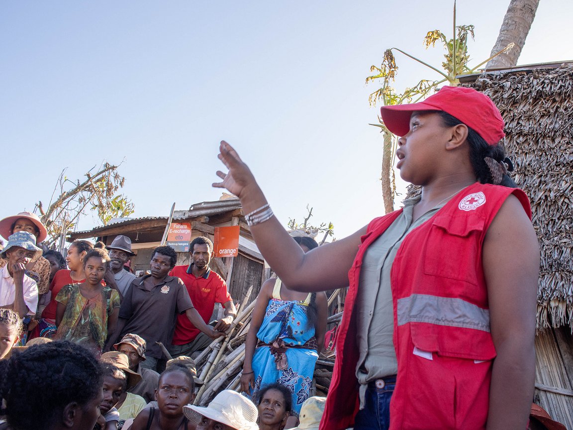
MRCS volunteers in the eastern coastal district of Mananjary – facing the cyclones that regularly come ashore from the Indian Ocean – help villagers to prepare for the landfall near them of Cyclone Freddy in February 2023. IFRC President Francesco Rocca later thanked the volunteers for their work, tweeting that “[preparing] communities before the arrival of a cyclone literally save lives”. Freddy was an “unprecedented event” in at least one aspect: it has been recorded by the WMO as the longest lasting tropical cyclone. (File photo: Caren Ramanantoanina/IFRC)