US scientists: Now fully formed El Niño more likely than not to reach ‘very strong’ status
By the Climate Centre
El Niño has now developed in the tropical Pacific and is likely to intensify to at least a moderate level later this year, scientists at the US National Oceanic and Atmospheric Administration said today.
“Forecasters predict a 63 per cent chance of sea surface temperatures exceeding 2.0°C in the Niño-monitored region of the Pacific. If this threshold is surpassed, NOAA considers the event a ‘very strong’ El Niño,” they add.
“Every El Nino is not the same; each one is unique with its own imprint on [US] weather,” said Ken Graham, Director of NOAA’s National Weather Service.
“Advanced monitoring and an improved understanding of El Niño patterns allow the NWS to better predict and better prepare the public and our core partners for what is to come.”
In February, NOAA adopted a new, more agile “Relative Oceanic Niño Index” for monitoring sea surface temperatures and forecasting El Niños and La Niñas which it says is more reliable for identifying these events.
Opposite impacts relatively close together
The Japanese Meteorological Agency said yesterday that “El Niño conditions are considered to be present in the equatorial Pacific from spring 2026 [and] are highly likely (100 per cent) to continue until boreal autumn.”
Australia’s Bureau of Meteorology said on Tuesday that “[s]ome uncertainty remains in the likely strength of this El Niño event. Models indicate it will be at least moderate in strength, with the possibility of a strong event, based on the extent of warming in the central tropical Pacific.”
UN Secretary General António Guterres joined others calling for the highest levels of preparedness and “informed decision-making” ahead of the revived El Niño.
In a video message released last week on 2 June Heat Action Day, he said: “El Niño conditions will pour fuel on the fire of a warming world. Impacts will hit even harder, travel even farther, and cross borders with devastating speed.”
El Niños are associated with increased rainfall in southern South America, the southern US, parts of the Horn of Africa and central Asia, and drier conditions over Central America, northern South America, the Caribbean, Australia, Indonesia, and parts of southern Asia – with opposite impacts occasionally relatively close together.
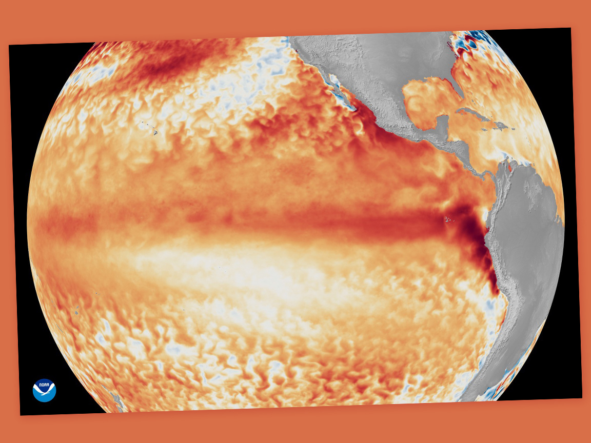
A still from an animation depicting changes in sea surface temperatures – red for warmer, blue for cooler – in tropical Pacific Ocean. (Image: NOAA)